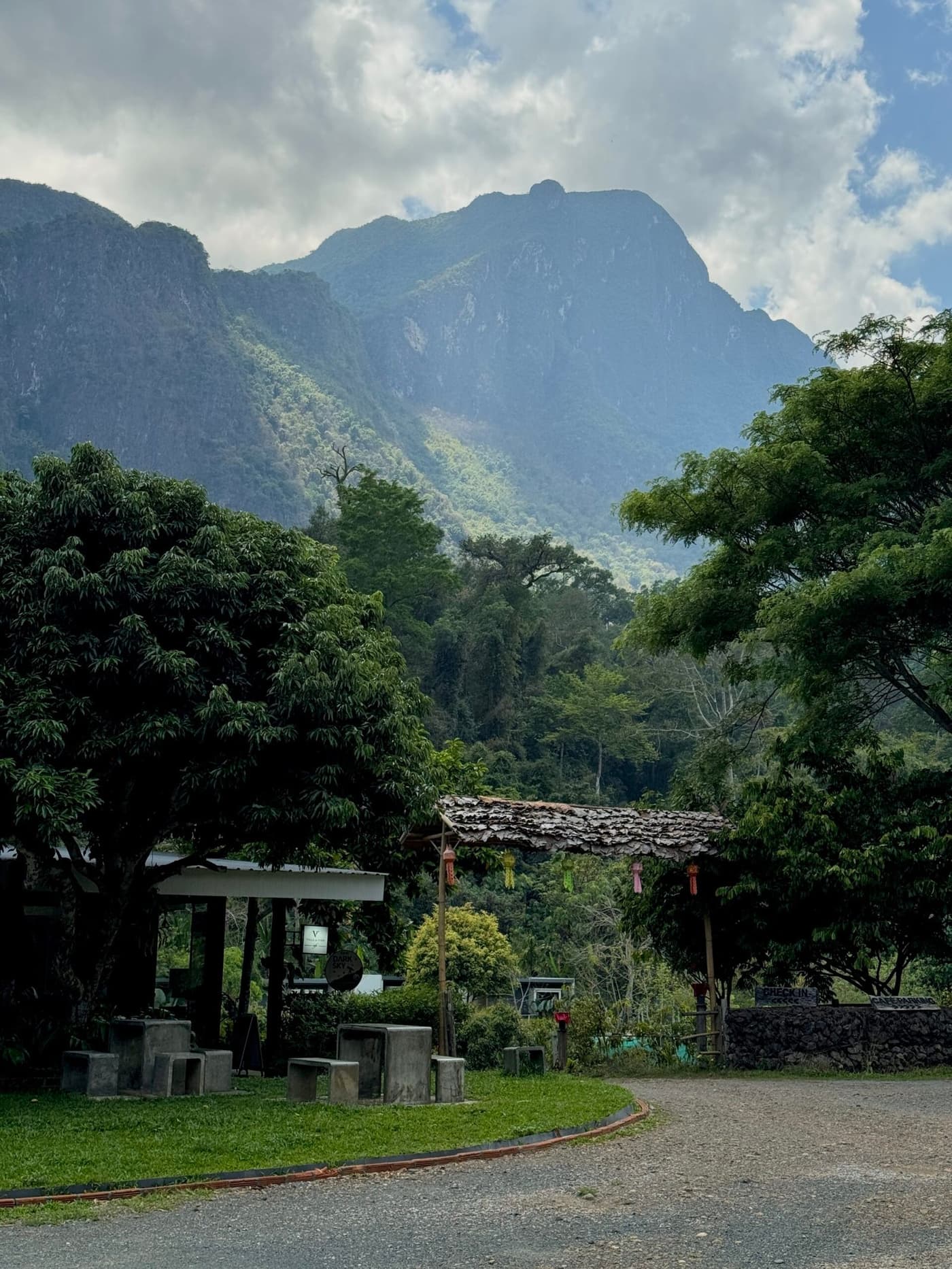
Doi Inthanon rises 2,565 meters above sea level, the highest point in Thailand. Mountain forests, waterfalls, royal pagodas and winter temperatures as low as 5°C (41°F), all about 100 km from Chiang Mai. We went in late December on a scooter and got even colder than in the Hmong village. If you are tired of the heat and want a completely different side of Thailand, Doi Inthanon is exactly that.
Where it is and how to get there
Doi Inthanon National Park is about 60 km southwest of Chiang Mai. It takes around an hour to reach the park entrance, and from the gate it is another 48 km or so along a forest road to the summit. In total, expect about 2.5–3 hours from Chiang Mai to the top.
By scooter or car is the most flexible option. The road is paved, but it is steep and winding in the mountains. In winter the summit can be foggy and very windy. If you are not confident riding in the mountains, take a tour or hire a car with a driver.
An organized tour starts at 1,200–1,500 baht per person and usually includes transport, lunch and the park ticket. It is convenient if you do not want to deal with logistics or this is your first time.
Public transport is awkward but possible. Take a bus from Chiang Mai's southern bus station to the town of Chom Thong (about 60 baht, 1.5 hours), then a songthaew toward the park. Reaching the summit this way is hard, because the transport only runs to the lower part of the park.
If you are still planning your trip to Chiang Mai, I recommend my full Chiang Mai city guide.
How we got there
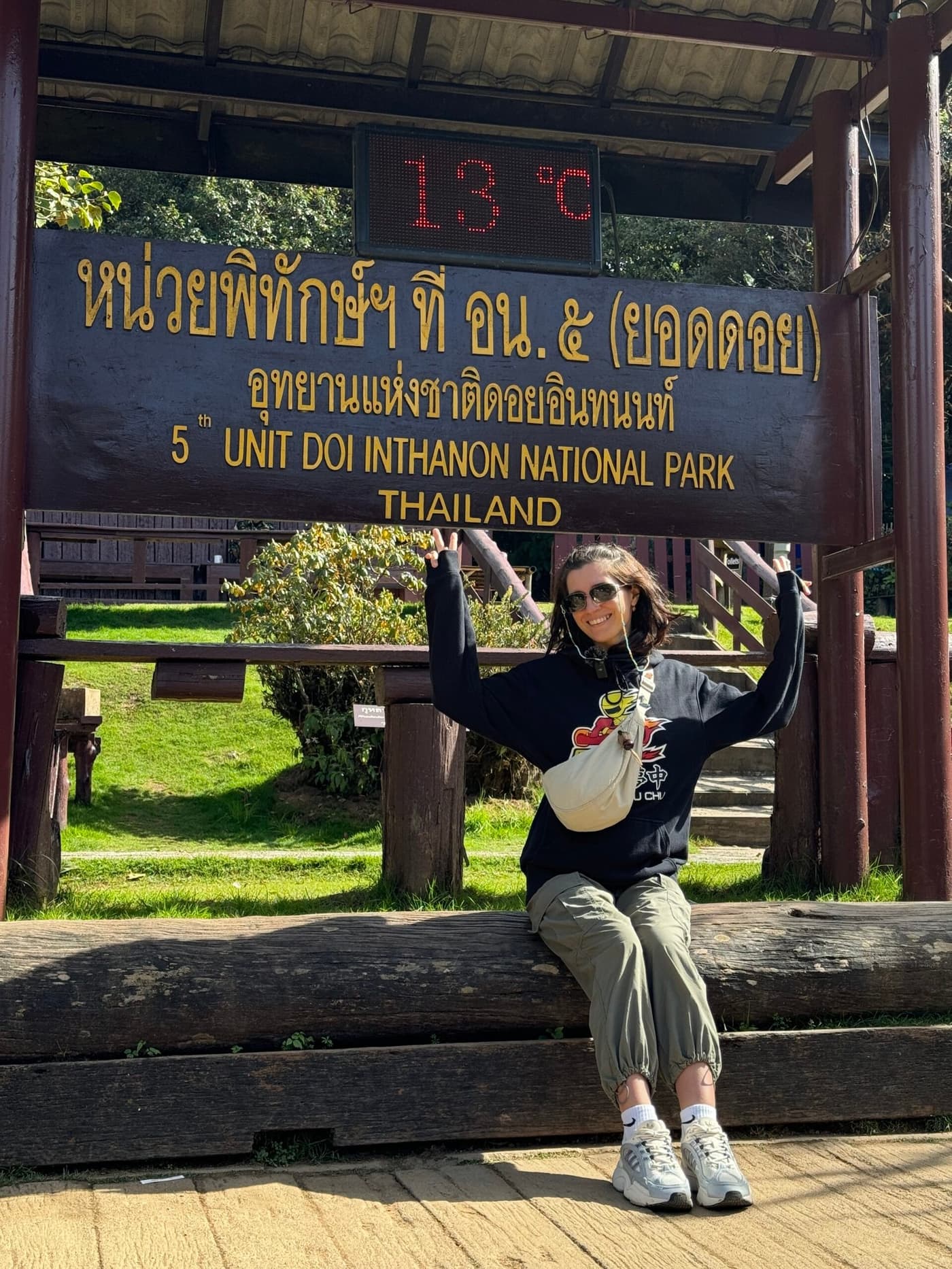
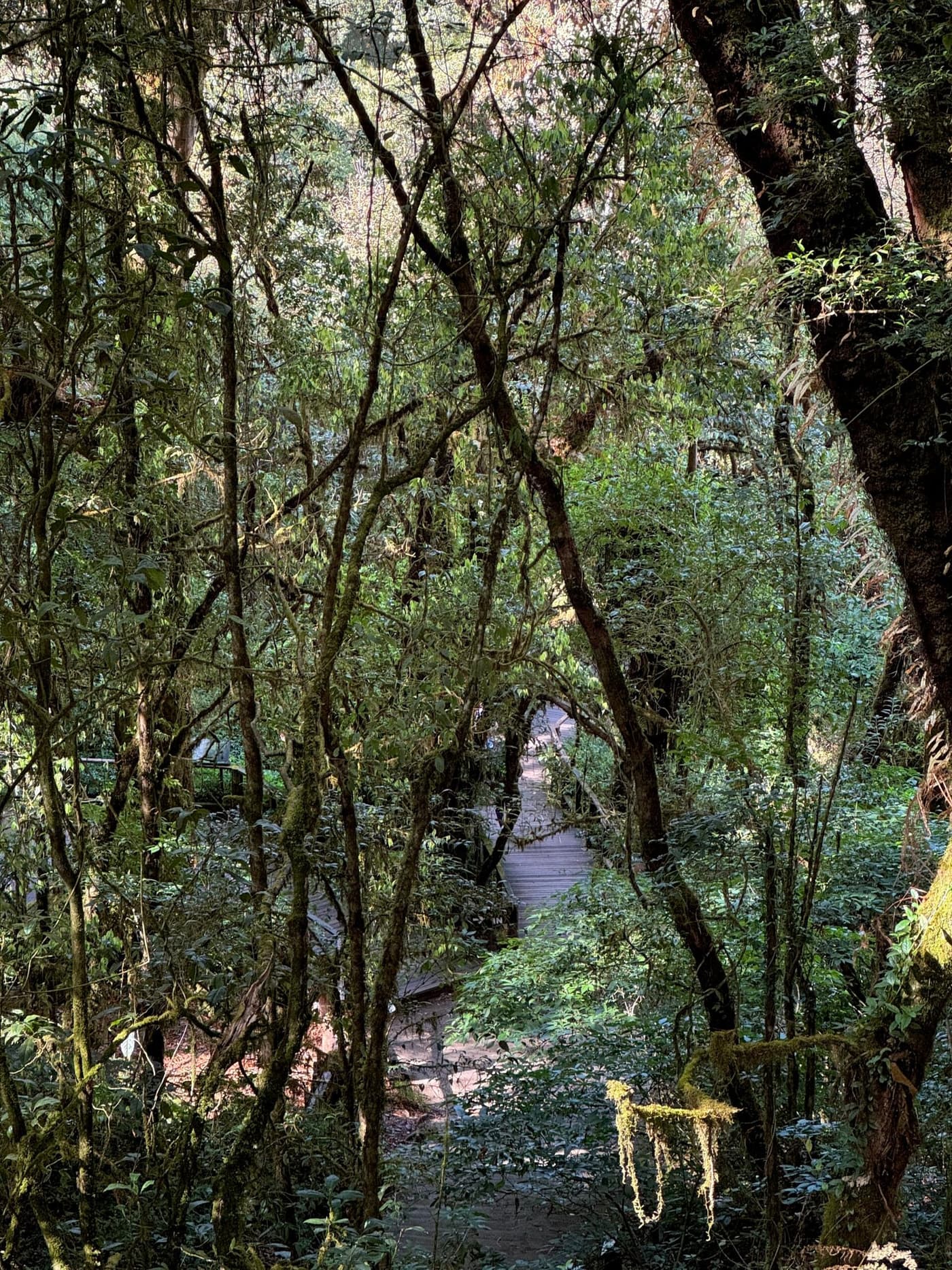
We rode a scooter in late December. It was 28°C (82°F) in Chiang Mai, we packed jackets just in case, and it was the right call. At the summit it was 13°C (55°F), foggy, with wet roads. The pagodas were hidden in clouds, but the Ang Ka trail turned out to be unexpectedly beautiful: a mossy, almost mystical forest, silence and the smell of damp earth.
My advice if you go by scooter: dress in layers. Riding down in a wet jacket after the fog is an experience of its own. And start early, because by 10 a.m. the fog often clears.
Entry fees and prices
- Entry to the national park: 300 baht for foreigners, 150 baht for children (ages 3–14). Thais pay 30/20 baht.
- Kew Mae Pan Nature Trail (a seasonal trail): a local guide is required, about 200 baht per group, paid at the start of the trail separately from the park ticket.
- Visiting the interiors of the royal pagodas: 40 baht extra.
- Parking: 30 baht for a motorbike, 50 baht for a car.
What to see in the park
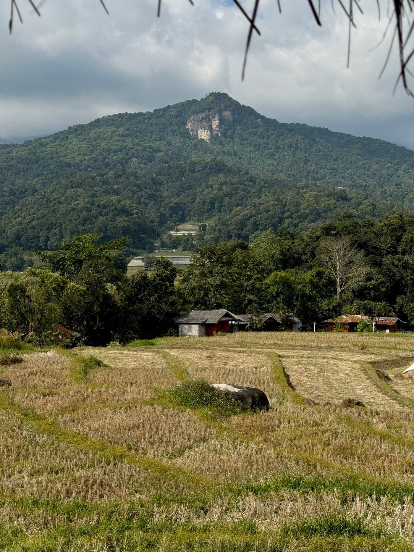
The park is big, with about 48 km between the gate and the summit. Waterfalls, pagodas and trails at different elevations are spread along the way. It works best to drive from the bottom up, stopping in order.
Wachirathan Waterfall
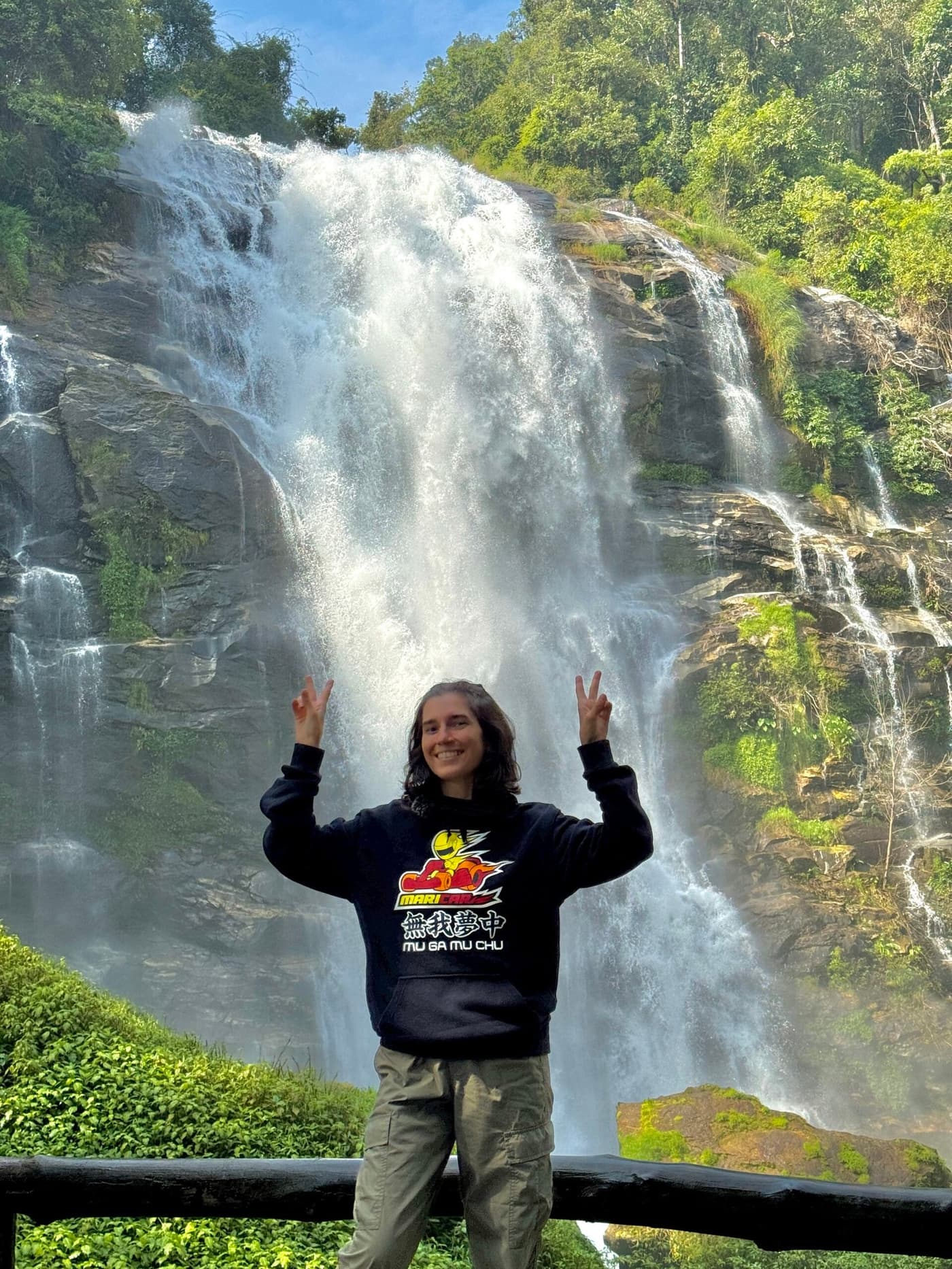
The most powerful and scenic waterfall in the park. The water drops from about 80 meters, and you can hear the roar long before you arrive. The spray flies several meters, and it is refreshing even on a cold day. The path to the viewing platform is paved, and you can get very close. We spent the longest time here, just standing and listening to the water.
It is at kilometer 21 from the park gate. There is parking.
Sirithan Waterfall
A little less powerful, but more secluded. It is not far from Wachirathan, a couple of kilometers further up the same road. If you have time, it is worth stopping at both, because they are different in character: Wachirathan is power and spray, Sirithan is height and grace. There are noticeably fewer people at Sirithan.
The royal pagodas
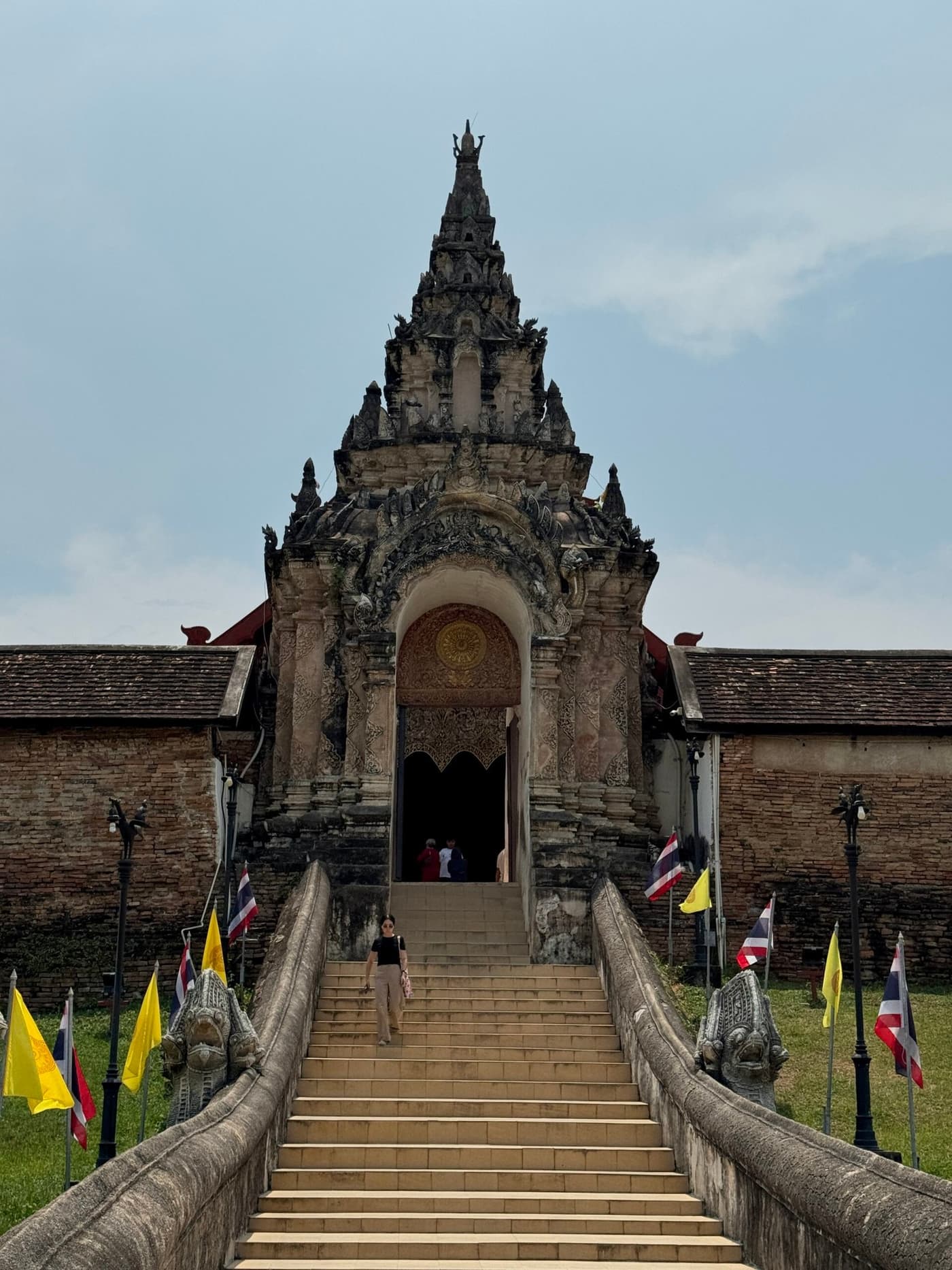
Two stupas: Naphamethinidon (in honor of King Rama IX) and Naphaphonphumisiri (in honor of Queen Sirikit). They are at kilometer 42, just below the summit. In good weather the viewing platforms open onto a sea of clouds and the mountain ridges of Myanmar. When we arrived, everything was wrapped in fog, but the atmosphere was otherworldly. The interior costs 40 baht on top of the ticket and is worth seeing.
Ang Ka Nature Trail
A loop trail near the summit through a mossy cloud forest. The trees are covered in lichen and ferns, the air is damp and smells of earth, and it looks nothing like the Thailand you imagine. The trail is short (about 360 m, 20–30 minutes), paved, with no difficult climbs. There are few tourists, so you can quietly spend time alone in this fuzzy green forest.
Kew Mae Pan Nature Trail
A more serious hike: a 3.5 km loop through alpine meadows and bamboo forest with views of the mountain ridges. The elevation is 2,200–2,500 m. It is open only in the dry season (November–May). A local guide is required (about 200 baht per group, paid separately from the park ticket). The route takes 2–3 hours. In clear weather the views are among the best in Thailand.
Hmong villages in the park
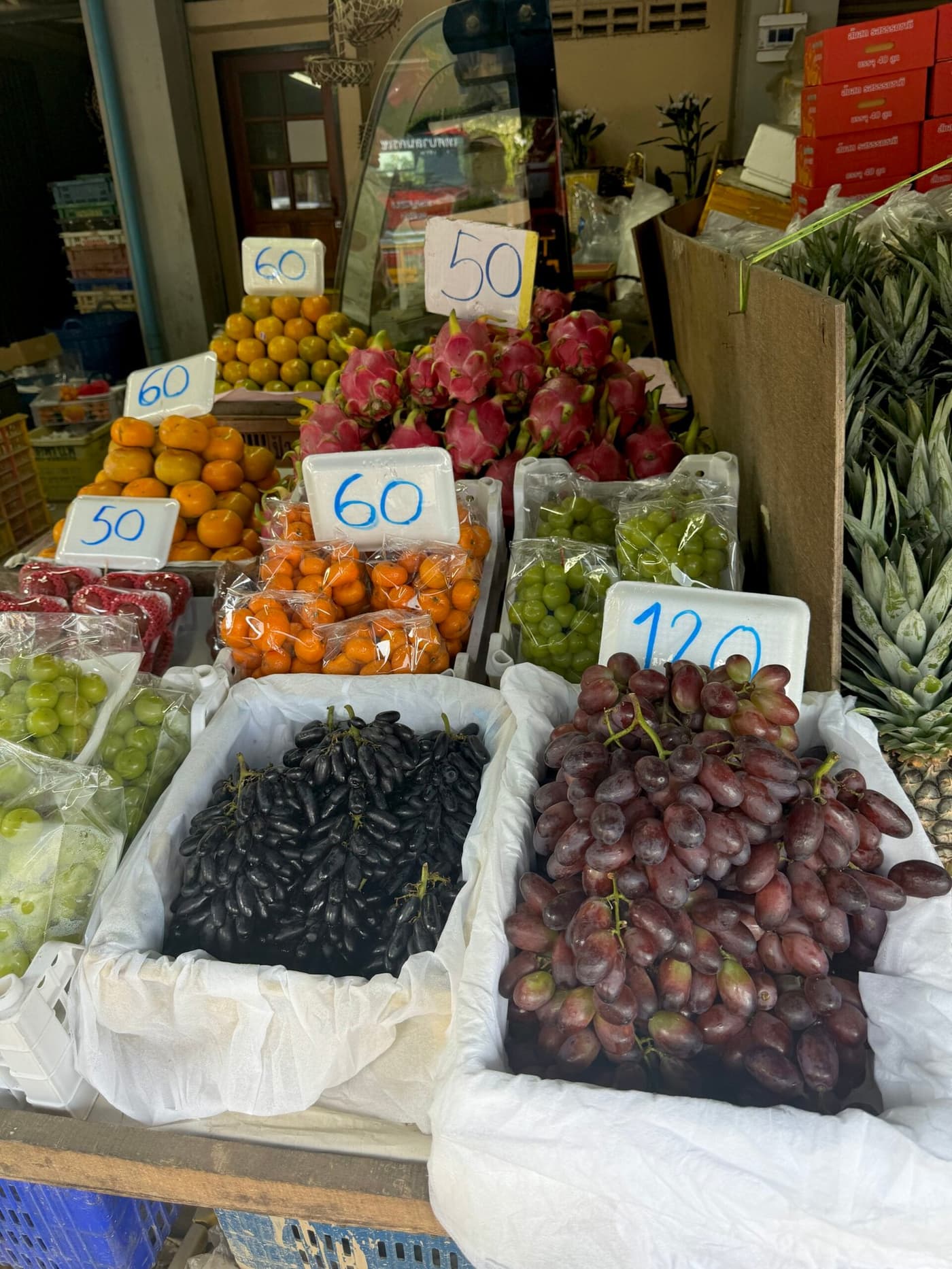
In the lower part of the park, along the road, there is a small Hmong village. Locals sell strawberries (in season, January–March), fresh flowers, coffee and handicrafts. The strawberries here are cheaper and better than in any city shop: a cup costs 40–60 baht.
If you buy something by the road, stop only at the marked places with a shoulder, since the road is narrow and busy in spots.
Birds and wildlife
The park is a well-known birdwatching spot. More than 360 bird species have been recorded here, including rare ones found only at high elevations. If you are interested, come early in the morning between October and April.
Birdwatching on Doi Inthanon
Even if you are not a birder, you may not know that Doi Inthanon is considered one of the top birdwatching places in all of Southeast Asia. About 362 species have been recorded here, including several endemics of the high mountains. Some species are found only here.
The best time is October to April (the dry, cool season): birds are more active and the vegetation is less dense. Early mornings from 6:00 to 9:00 are the peak of activity. The Kew Mae Pan trail and the area around the summit are the richest locations for species.
If birdwatching is your goal, bring binoculars and a field guide to the birds of Thailand. Some specialized tours from Chiang Mai are built around this: the guide knows where particular species gather.
A day plan: how to organize the trip
It is best to leave Chiang Mai at 7:00–8:00 a.m. so you reach the upper part of the park before the fog. The best route runs from the bottom up:
- Wachirathan Waterfall (21 km from the gate): 45 minutes to 1 hour
- Sirithan Waterfall (a couple of kilometers further up): 30 minutes
- Royal pagodas (42 km): 1 hour
- Ang Ka trail near the summit: 30 minutes
- Lunch at the park cafe or a packed lunch: there is a small cafe near the summit, with standard prices of 80–150 baht per dish
- The way back, and the Kew Mae Pan trail (if you have time and the weather is good)
The whole thing takes about 11 hours. We left at 8:00 a.m. and got back at 7:00 p.m.
The park's history and significance
Doi Inthanon is named after the last king of Chiang Mai, Inthanon, who ruled in the late 19th century. According to legend, he loved this mountain so much that before his death he asked to have his remains buried here so he could stay in his home mountains forever. His wish was granted: an urn with his remains is kept in a small stupa at the summit. That is why Thais treat the mountain with such care.
The national park was founded in 1972. Its area is about 482 square km. Several major rivers of northern Thailand begin here, which flow into the Ping, one of the region's main waterways. The park is one of the strategically important watershed areas for the whole north of the country.
The biodiversity at this altitude is exceptional. About 362 bird species have been recorded in the park, one of the highest concentrations in Thailand. Species found only above 2,000 m live here: rare woodpeckers, thrushes and sunbirds. For birders, Doi Inthanon is one of the main destinations in Southeast Asia.
If you want to see Thailand from a different side, not just beaches and palm trees, definitely include Doi Inthanon in your route. It left me with some of my most vivid memories!
I wrote about other sights and what to see in Chiang Mai in a separate article.
Weather and what to bring
It is much colder at the summit than in Chiang Mai. In late December it was about 13°C (55°F) for us, and in winter it can drop to 5°C (41°F). Definitely bring a jacket, even if it is 30°C (86°F) in the city. Gloves are also a good idea on a scooter.
Fog is a constant companion at the summit. Early starts (before 9–10 a.m.) give you a better chance of a clear sky.
Checklist: a jacket, comfortable shoes for the trails, water (you can buy it in the park, but it costs more), cash, and sunscreen (UV radiation is stronger at altitude).
Best time: November–February, when there is no rain, the air is clean and the waterfalls are full after the rainy season. In the smoky season (March–April), visibility in the mountains is worse.
Doi Inthanon in winter: what "cold" means in Thailand
When Thais say it is "very cold" on Doi Inthanon in winter, they mean 5–10°C (41–50°F). For most visitors from Europe or North America, that is just cool. But after a few days at 30°C (86°F), it feels sharp.
At the summit in December and January, there is regularly frost on the grass in the early morning. It is one of the few places in Thailand where that is possible at all. Thais come here specifically to see the "snow" (frost), take photos and are delighted like kids.
For you, it is simply a reason to bring a proper jacket. Not a light cardigan, a jacket. On a scooter, the wind makes the cold worse on the way down from the summit (and that is 48 km): 10°C (50°F) at 60 km/h (37 mph) feels like 0°C (32°F).
I filmed how we explored the main sights of Chiang Mai in a YouTube video. A like and a subscribe from you would be great 🙂
Doi Inthanon FAQ
Where is Doi Inthanon?
In a national park about 60 km southwest of Chiang Mai. From the gate it is another 48 km or so to the summit.
How high is Doi Inthanon?
2,565 m, the highest point in Thailand.
How much is the entrance fee?
300 baht for foreigners, 150 baht for children. The Kew Mae Pan trail costs another 200 baht or so for the guide (per group). The pagodas are +40 baht.
What is the best way to get there?
A scooter or car is the most flexible option. An organized tour from 1,200 baht is convenient if you have no transport of your own. Public transport does not go to the summit.
What should I not miss?
Wachirathan Waterfall, the Ang Ka trail and the royal pagodas. If the weather allows, the Kew Mae Pan trail with its views of the mountain ridges.
Can I go with kids?
Yes. The paths to the waterfalls and pagodas are paved and the climbs are moderate. Keep in mind the cold at the summit: kids need warm clothes.
When is the best time to go?
November–February: less rain and better visibility. You need to leave early, because the fog clears before 9 a.m.
How long does the trip take?
A full day: about 11 hours from departure to getting back to Chiang Mai. If you only want the waterfalls, you can manage it in 5–6 hours.