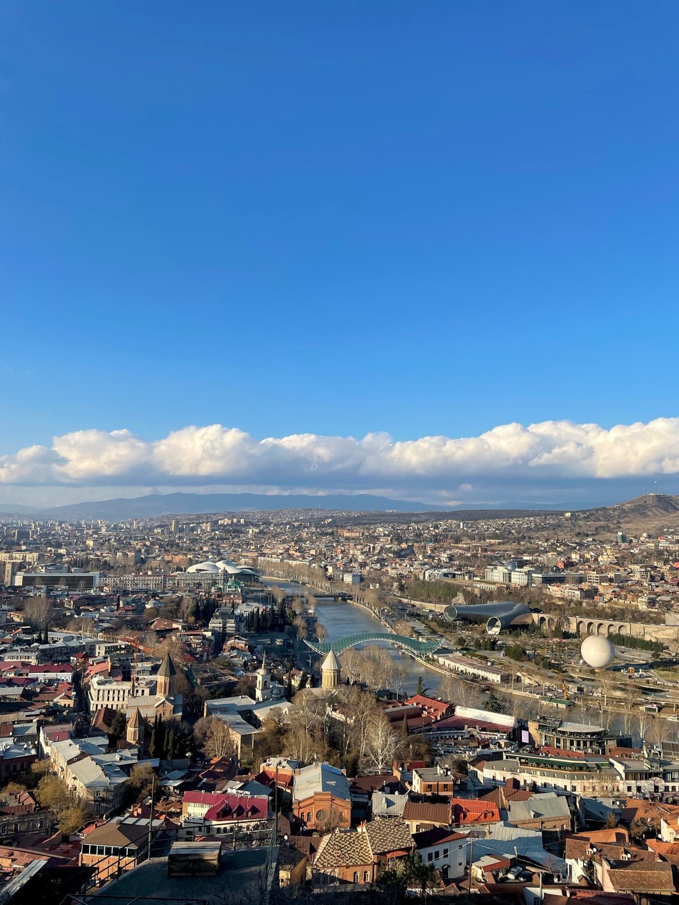
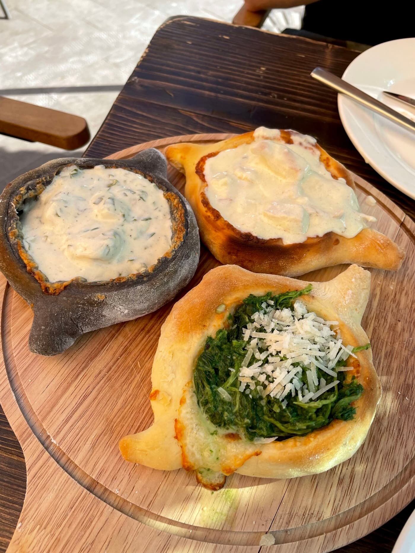
The Georgian Military Road is one of the most beautiful roads in the Caucasus. I have driven it several times, both as a day trip from Tbilisi and with an overnight stay in Stepantsminda. Both versions are great, but they give you a completely different experience.
The road is about 200 km long and links Tbilisi with the Russian border through the Kazbegi (Jvari) Pass. Along the way you pass Ananuri Fortress, viewpoints over the Zhinvali Reservoir, Gudauri, the Cross Pass and Stepantsminda at the foot of Mount Kazbek. It is both a tourist route and a real transport artery.
History of the Georgian Military Road
The history of the Georgian Military Road goes back many centuries. This route existed long before any modern paved highway appeared here. Already in antiquity an important trade route ran through the Dariali Gorge, linking the southern lands of the Caucasus with the North Caucasus and Eastern Europe.
In the Middle Ages the road had strategic importance: merchants, pilgrims and armies all traveled along it.
The road got its modern name in the 18th–19th centuries, when, after Georgia joined the Russian Empire, construction of a permanent Georgian Military Road began. The work was carried out on the initiative of the imperial administration, and by the middle of the 19th century a reliable route had been built that could be used all year round.
Today it is no longer a military route but one of the most popular tourist routes in Georgia.
Georgian Military Road attractions: what you should not miss
The Georgian Military Road starts in Tbilisi and runs all the way to Vladikavkaz, crossing the Greater Caucasus ridge and connecting two countries: Georgia and Russia. Along the Georgian Military Road you will find incredible mountain scenery, ancient churches, fortresses and resorts. The trip lets you see almost everything that is characteristic of Georgia: from early medieval architecture to mountain passes and rivers with turquoise water.
Mtskheta: the ancient capital and spiritual center of the country
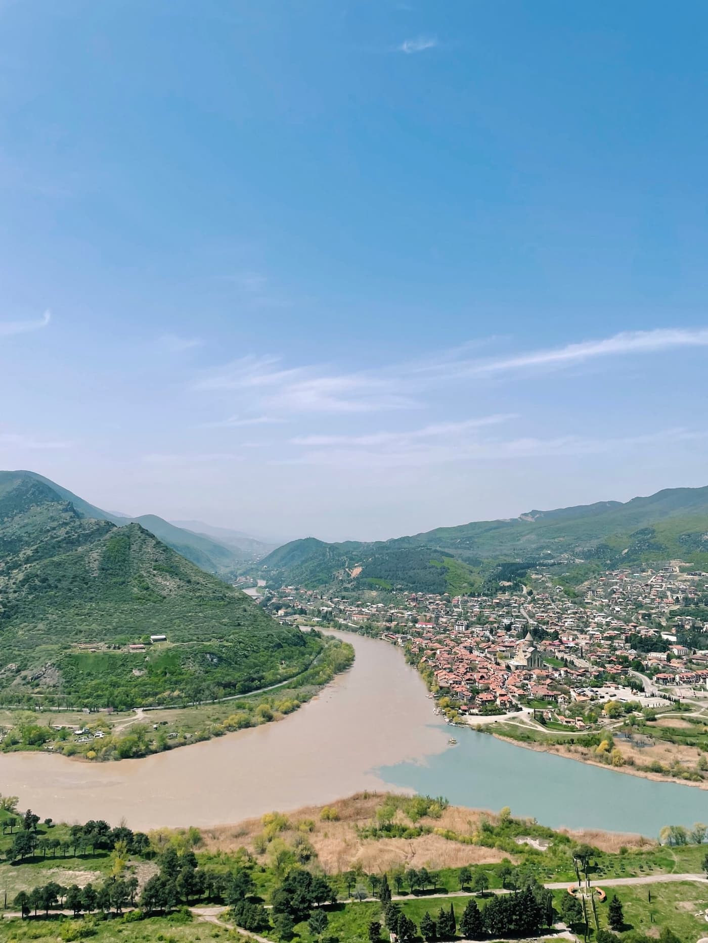
Mtskheta is the first capital of Georgia and one of the most important places for Georgian Orthodoxy. This is where Svetitskhoveli Cathedral stands, built in the 11th century and listed as a UNESCO World Heritage Site. According to tradition, the robe of Jesus Christ is kept here.
Above the town rises Jvari Monastery, which has a panoramic view of the confluence of the Kura and Aragvi rivers, one of the best-known views in the country. In Mtskheta it is worth strolling along the narrow streets, popping into the souvenir shops and trying homemade churchkhela and wine.
I wrote about what to see and do in Mtskheta in a separate article.
Ananuri Fortress and the Zhinvali Reservoir
About 60 kilometers from Tbilisi you will find Ananuri Fortress, a well-preserved complex from the 16th–17th centuries. You can climb the defensive tower, look around the old churches and see fragments of frescoes.
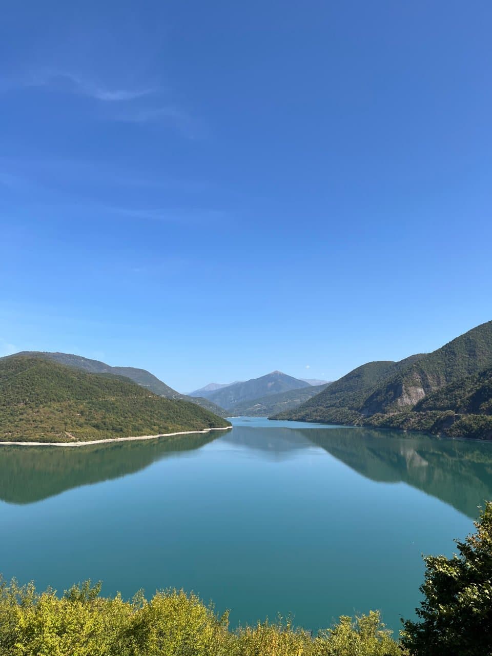
At the foot of the fortress lies the Zhinvali Reservoir, one of the most picturesque places in Eastern Georgia. The water is bright turquoise, especially in summer, and the shores are surrounded by dense forest. It is one of the most popular photo stops on the whole route: there are viewing platforms and cafes nearby.
The scenery around the Zhinvali Reservoir changes with the season. We have been there in every season, and it is always beautiful in a different way.
Gudauri: ski resort and viewpoints
Gudauri sits at more than two thousand meters above sea level and is one of Georgia's main ski resorts. In winter skiers come here, and in summer it draws travelers who want to see the Caucasus Mountains from a bird's-eye view.
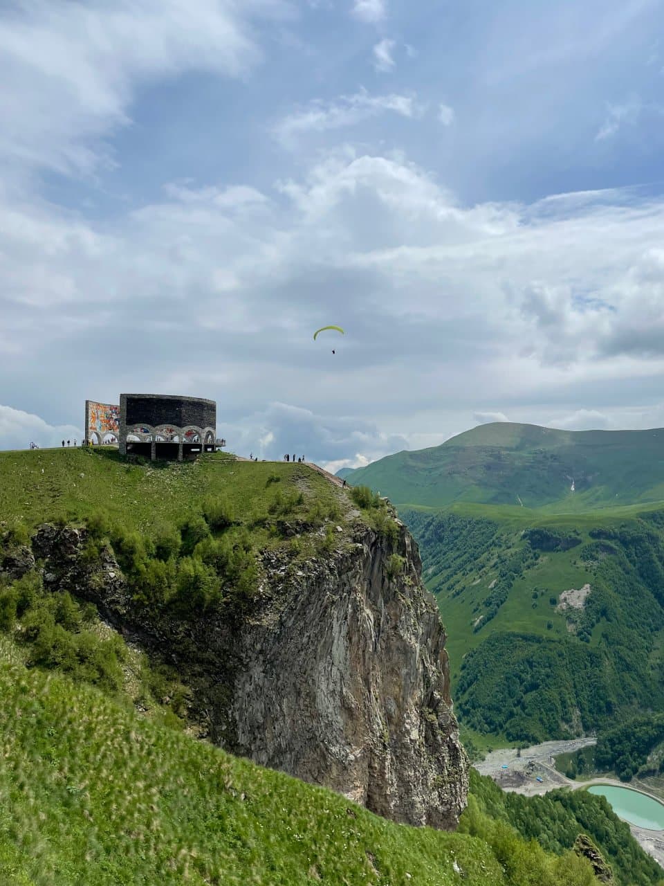
One of the most recognizable places in Gudauri is the Russia–Georgia Friendship Monument (the Friendship Arch), built in 1983. The panorama from here takes in the Aragvi River valley and the neighboring peaks. Local sellers often stand nearby offering cheese, honey and woolen goods.
I recommend coming here in the off-season, so you can ride the cable car without the crowds.
The Cross Pass: the highest point of the road
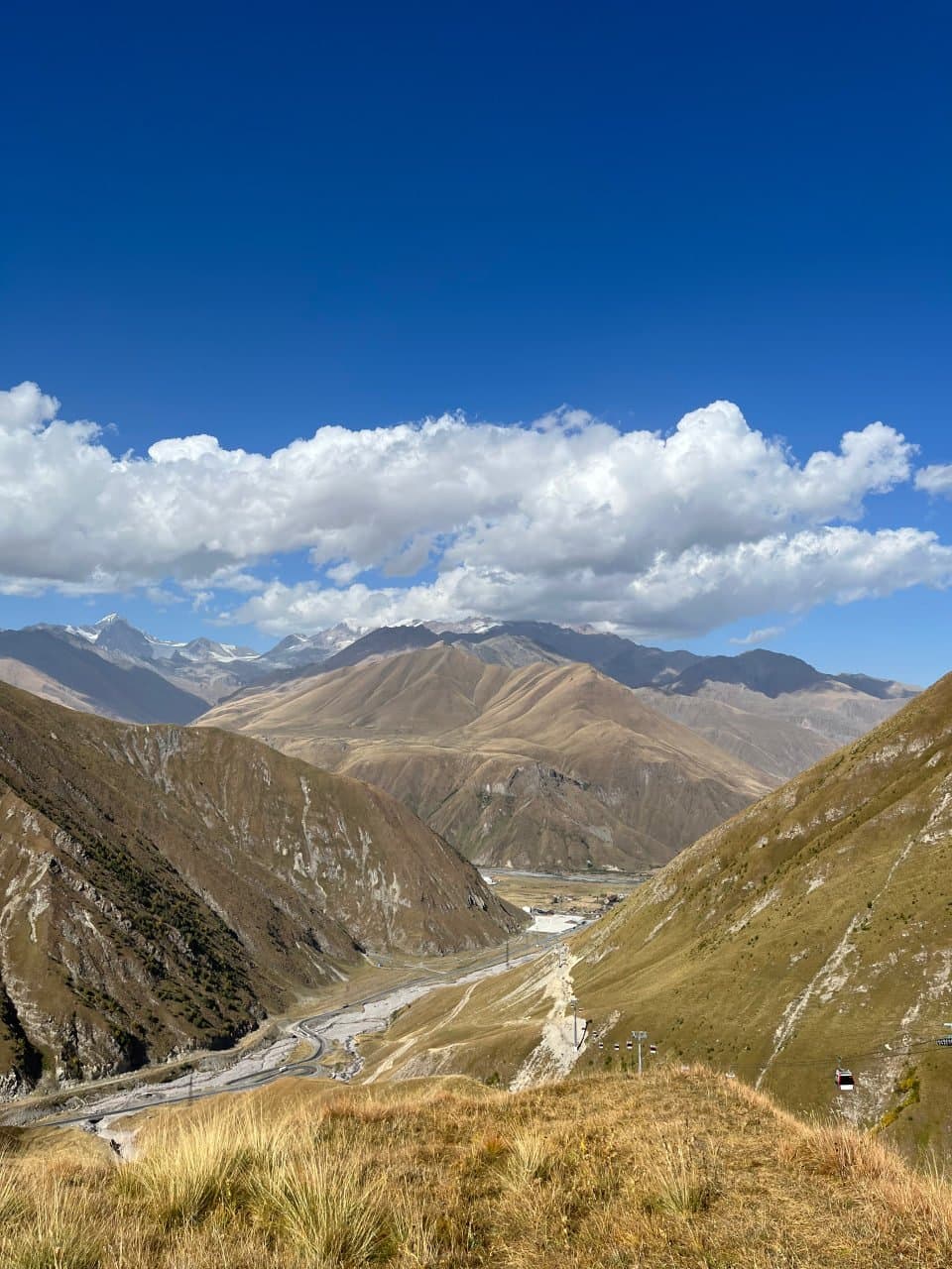
The Cross Pass is at an altitude of 2,379 m above sea level. This is the section where the road crosses the Greater Caucasus ridge. You can feel the change in climate here: even in summer the air stays cool, and winter lasts longer than down in the valleys.
At the pass there is a mineral water spring where people make short stops, and a viewing platform with a view of snowy peaks. Because of the terrain and possible snowfall, this section of the road is sometimes temporarily closed in winter, so travelers should check road conditions in advance.
Stepantsminda (Kazbegi) and Gergeti Trinity Church
The upper part of the route brings you to the village of Stepantsminda, also known by its old name, Kazbegi. From here you get a view of one of the most recognizable mountains in the Caucasus, Mount Kazbek, 5,054 m high.
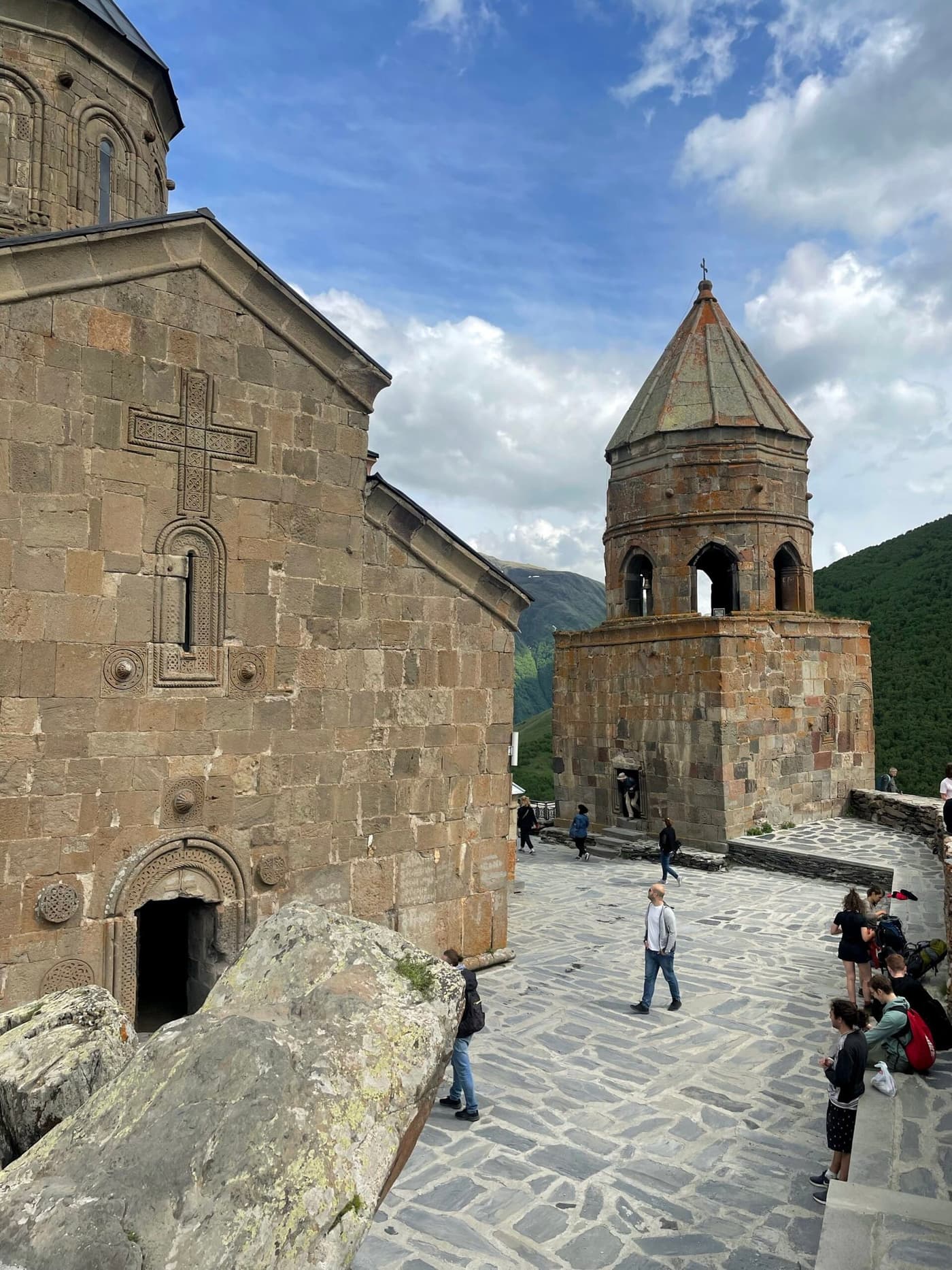
The main attraction here is Gergeti Trinity Church, standing on a separate hill at an altitude of more than 2,100 m. It was built in the 14th century and is still active. You can get up to the church on foot or by 4x4. In clear weather you can see Kazbek and the whole Terek valley from here.
I explained how to get up to Gergeti Trinity Church in detail in a separate article.
Sno village and the stone heads
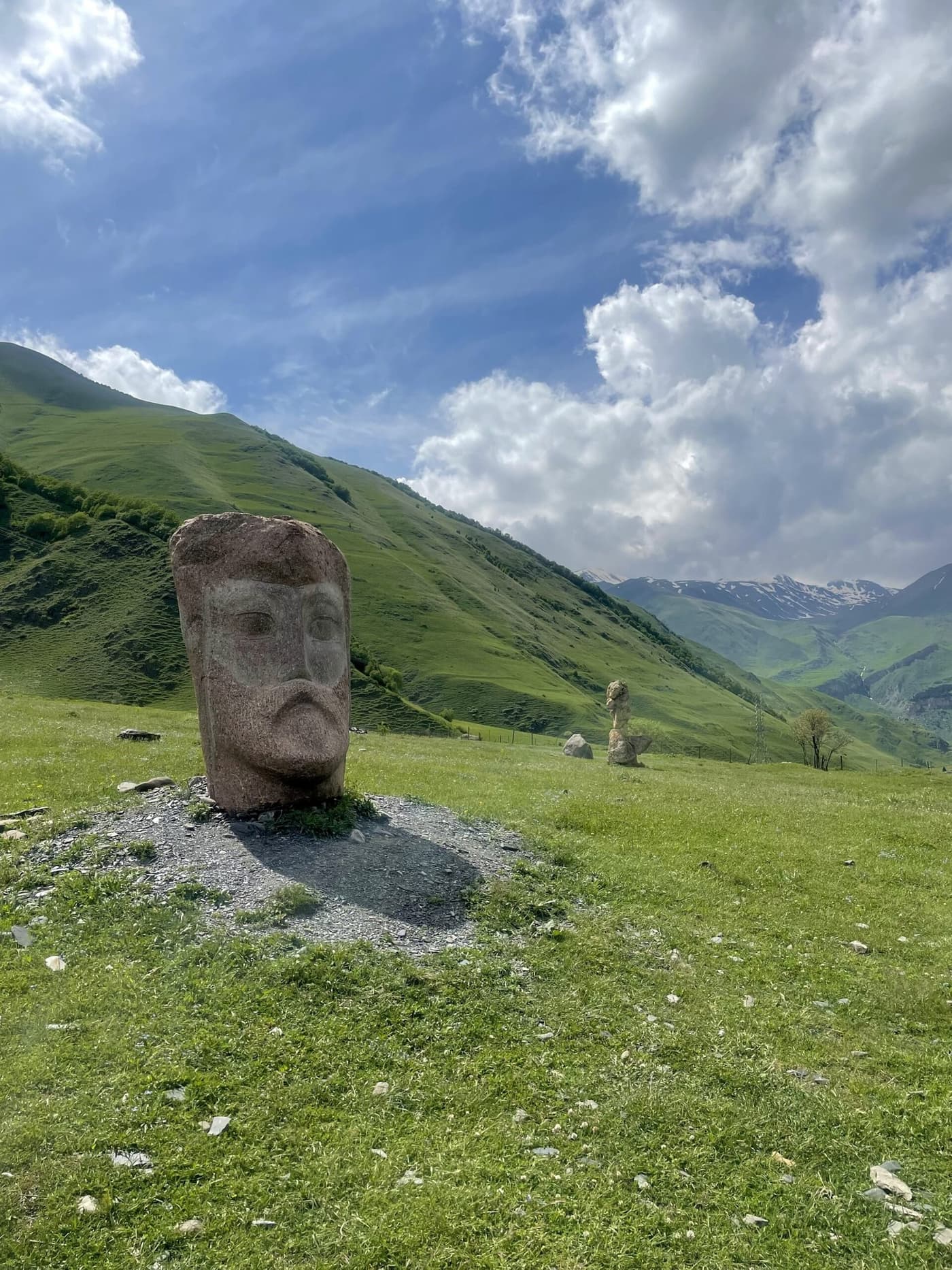
Just before Stepantsminda there is a small village called Sno. The village is known for its old Sno Tower, and next to the road stand huge stone heads carved by the Georgian sculptor Merab Piranishvili. They depict famous Georgian writers, priests and cultural figures.
Sno is the birthplace of Ilia II, Catholicos-Patriarch of All Georgia, so the place has special meaning for locals. Here you can see traditional stone houses and feel the atmosphere of a small mountain settlement.
I wrote a detailed article about Sno village and the stone heads.
Dariali Gorge and the border at Larsi
The final part of the road runs through the Dariali Gorge, a narrow canyon about 12 kilometers long where the Terek River flows between sheer cliffs. It is one of the most impressive natural places in the Caucasus.
For centuries the gorge was a strategic passage between the North and South Caucasus. Today the Larsi border checkpoint is located here, which carries road traffic between Georgia and Russia. On both sides of the gorge you can see the remains of old fortresses and chapels.
On a map, the whole route from Tbilisi to the Dariali Gorge looks like a winding ribbon that follows the Aragvi and Terek rivers through mountain slopes and valleys. Along the way you can make plenty of stops: at fortresses, monasteries, viewpoints and natural sights.
On average the drive from Tbilisi to Stepantsminda takes about 4 hours if you do not stop. But I recommend planning two days for this trip, so you can calmly see the sights and take photos.
The road is open to traffic at any time of year, but in winter there can be restrictions on the passes because of snow and avalanches. That is why it is important to check road conditions before you set off.
Georgian Military Road route
It is convenient to split the route into several points, and each deserves at least a short stop. Below they are listed in order from Tbilisi to Stepantsminda.
Tbilisi → Mtskheta (25 km)
The first 25 km run through the suburbs. On the way you reach Mtskheta, the ancient capital of Georgia. It is worth stopping for 1.5–2 hours: Svetitskhoveli Cathedral and Jvari Monastery on the hill with a view of the confluence of the rivers are a must.
Ananuri Fortress and the Zhinvali Reservoir (66 km from Tbilisi)
Ananuri Fortress is the first major stop. The medieval fortress stands right on the shore of the Zhinvali Reservoir with its turquoise water. The view from the upper platform is one of the most photogenic on the whole route. Allow 30–40 minutes to look around; entry is free.
Gudauri (120 km from Tbilisi)
A ski resort at 2,000–3,000 meters. In winter (December–March) it is the country's main ski center, with slopes for all levels and a ski pass of 60–80 lari/day. In summer it is a starting point for hiking and paragliding. The panorama from the ridge is impressive at any time of year.
Just before you reach Gudauri is the Friendship Arch (the Russia–Georgia Friendship Monument), a Soviet-era monument from 1983 with a mosaic telling the story of Georgian-Russian friendship. It is a must-stop for photos: from the viewing platform by the Arch you can see the Cross Ridge and the valley below.
The Cross Pass (2,379 m)
The highest point of the route. The pass is open all year round, in winter with chains or in good weather. In summer you can see alpine meadows and snowy peaks from here. There is a small monument and a parking area, which makes it a good place to stop.
Sno Valley and the stone heads (150 km from Tbilisi)
Turn off the main road for 2–3 km and you are in the Sno Valley. Stone sculptures, portraits of Georgian historical figures, are carved on the mountainside here. You already get a view of Kazbek from this spot. Entry is free and the road is paved.
Stepantsminda / Kazbegi (157 km from Tbilisi)
The end point of the tourist route. A small mountain village at the foot of Mount Kazbek (5,054 m). This is the starting point for Gergeti Church. The church dates from the 14th century and stands at 2,170 m, and there are also routes to the Kazbek glacier.
1-day vs 2-day route
Both options are realistic. It is only a question of pace and how many impressions you are ready to take in at once.
One-day trip from Tbilisi
It is doable if you leave before 8:00 a.m.
The best order: Tbilisi → Mtskheta (1 hour) → Ananuri (30–40 min) → Gudauri (a walk, photos, 30 min) → Stepantsminda (lunch, 1–1.5 hours) → the climb to Gergeti by Delica or on foot (2–4 hours) → back to Tbilisi.
You will get back between 9:00 and 11:00 p.m. It is packed, but possible. Walking up to Gergeti takes about 1.5–2 hours uphill; a Delica 4×4 costs from 100 lari per car.
A 2-day trip (my recommendation)
Two days give you the freedom to stop where you want, rather than rushing back to Tbilisi with burning eyes in the dark. I recommend exactly this option, especially for first-timers.
Day 1: Tbilisi → Mtskheta → Ananuri → Gudauri → Stepantsminda. Overnight in Stepantsminda. Day 2: a morning climb to Gergeti (the most beautiful view is in the morning, when the mountains are clear), a walk to the glacier or the Sno Valley. Return along the Georgian Military Road.
Accommodation in Stepantsminda: guesthouses from 60–80 lari/night, hotels from 80–150 lari. Book ahead in high season.
Winter route: Gudauri and the ski season
In winter the road is open but needs caution at the pass. After snowfall it can be closed temporarily for a few hours.
Gudauri in winter
- Season: December–March (peak in January–February)
- Slope elevation: 1,990–3,307 m
- Number of slopes: 17 (including red and black runs)
- Ski pass: 60–80 lari/day (~22–30 USD)
- Equipment rental: 40–60 lari/day
- Rentals and hotels right by the lifts
Distance from Tbilisi is 120 km, about 2 hours. A transfer from Tbilisi to Gudauri can be arranged directly from your hotel and costs around 100 lari per car.
Useful information for travelers
A trip along the Georgian Military Road does not require any special preparation, but knowing a few details will help you make the journey comfortable and safe. This route works both for independent travel and for guided tours.
How to get there
Minibuses (marshrutkas) run from Tbilisi to Stepantsminda, mostly from the Didube metro station. The journey takes about 4 hours, depending on weather, traffic and stops.
The most enjoyable way is to go by rental car, which gives you more freedom and lets you stop at the sights. The road is paved, but closer to the passes there are sharp bends and uneven stretches.
You can also find plenty of private excursions and group tours in Tbilisi that include the main points of the route: Mtskheta, Ananuri, Gudauri and Kazbegi.
When to go
The best time for the trip is from May to October, when the passes are open and visibility is good. The route is also possible in winter, but you need to allow for snowfall and possible restrictions on driving through the Cross Pass. Check current road conditions before you set off.
What to bring
- Warm clothing: even in summer you will want a hoodie, because it is cool at the pass.
- Comfortable shoes for walking around fortresses and churches.
- Sunglasses and sunscreen: the mountain sun is strong even in winter.
- Water and a light snack, especially if you plan to travel without stopping at cafes.
Safety and road conditions
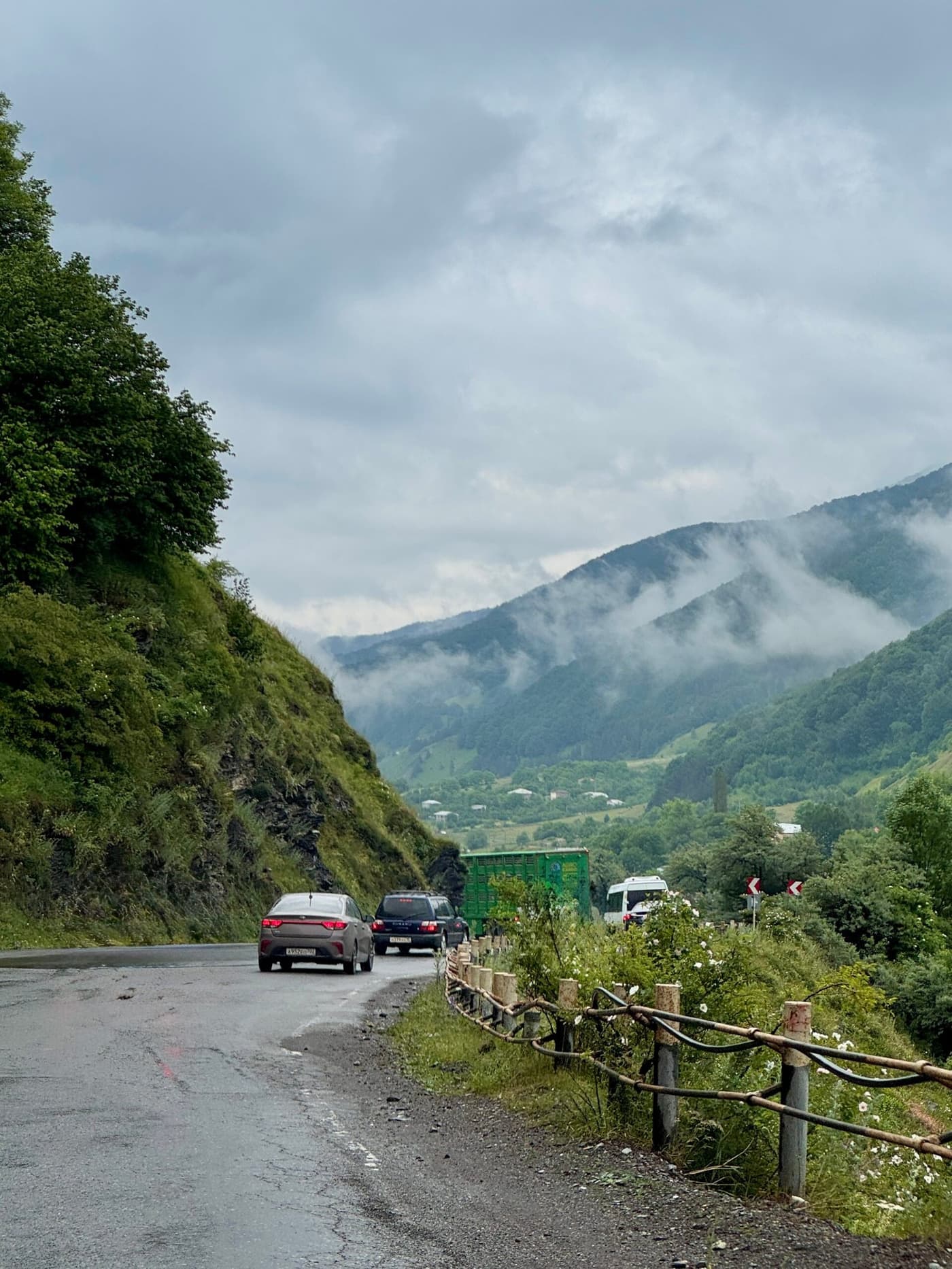
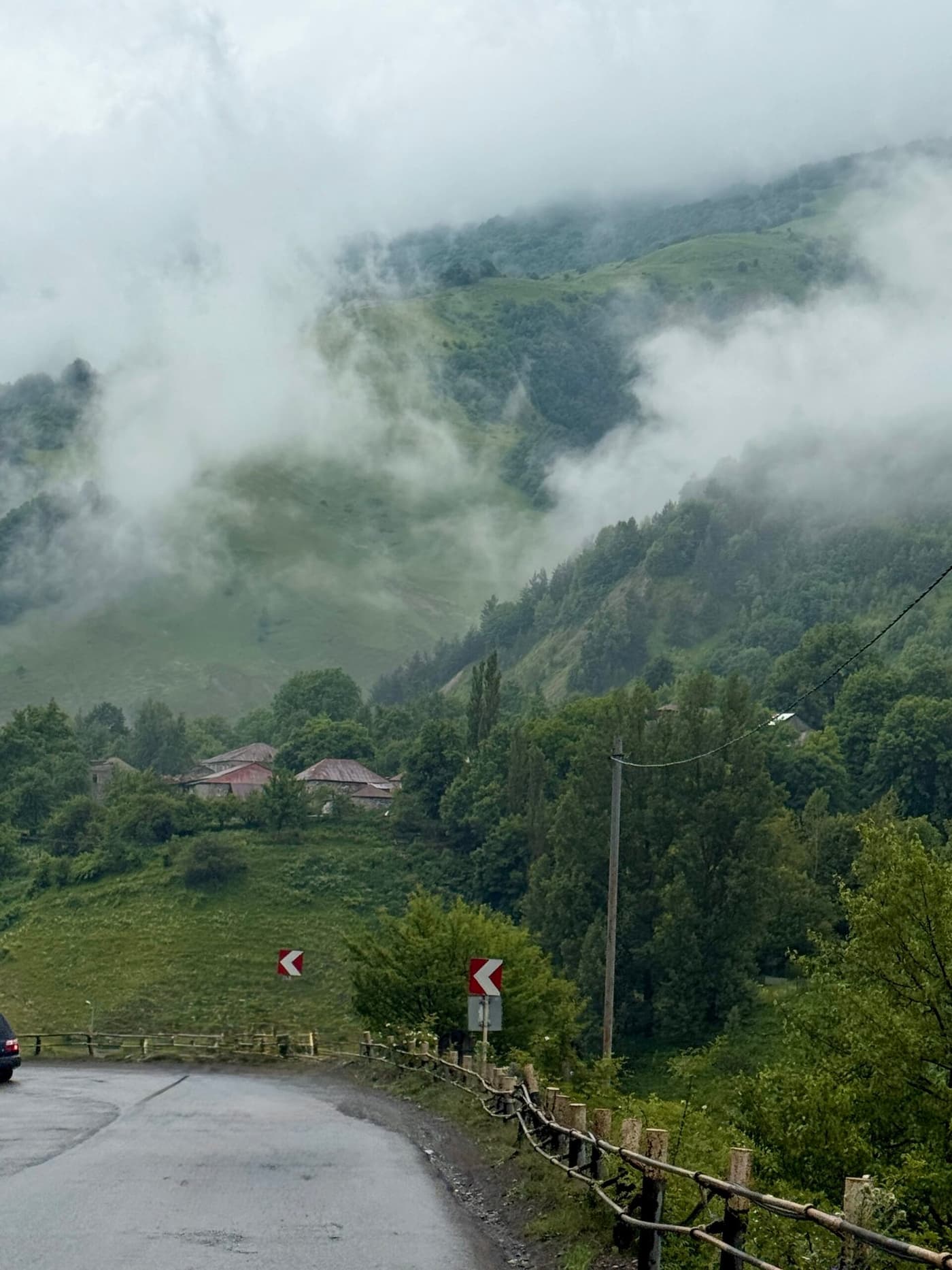
The Georgian Military Road is in good condition, but the mountain serpentines call for attention. In winter it is best to use a four-wheel-drive car with winter tires. Stretches of fog and strong wind are common at the pass. There are gas stations along the route, but it is better to fill up in advance in Tbilisi or Mtskheta. Mobile coverage is available almost everywhere except a few short stretches in the mountains.
Where to stay
Along the road there are plenty of guesthouses and hotels, from simple hostels to cozy boutique hotels in Gudauri and Stepantsminda. If you plan to stay overnight near Kazbek, it is better to book in advance, since there are lots of tourists here in summer.
Some travelers choose a road trip format, stopping for one night at different points: Mtskheta, Gudauri, then Kazbegi.
Modern features
- The road is still the only year-round road link between Georgia and Russia.
- It is often called the "route across the Caucasus", and it is part of most tourist programs in Eastern Georgia.
- In recent years more cafes, guesthouses and viewpoints have appeared along the road, which has made the route more convenient for travelers.
The Georgian Military Road is a great route. In just a few hours of driving you can see ancient towns, fortresses, mountain valleys, passes and the legendary peak of Kazbek. The road remains part of the region's cultural memory and still connects the peoples of the Caucasus. That is why visiting it feels not just like an excursion but like getting to know the living history of the region.
Georgian Military Road FAQ
How many kilometers is the Georgian Military Road?
The route is roughly 208 kilometers, from Tbilisi to Vladikavkaz, counting both countries.
Can you drive the Georgian Military Road in winter?
Yes, it is possible to drive in winter, but there are caveats: the pass may be closed because of snow or avalanche danger, especially around the Cross Pass. Check the current road conditions before your trip.
How many serpentines and steep sections are there on the route?
The road has winding sections and a significant change in elevation: for example, the climb to the Cross Pass (about 2,379 m) and the serpentines in the mountain section.
What is the best time for a trip along the Georgian Military Road?
The best time is May to October, when the passes are open, the weather is more comfortable and visibility is good. In spring and autumn you can meet fewer tourists and see completely different colors.
What sights should you visit along the route?
The town of Mtskheta, Ananuri Fortress + the Zhinvali Reservoir, the Gudauri resort, the Cross Pass, the village of Stepantsminda (Kazbegi) and the church in Gergeti.
Can you do the route in a rental car?
Yes, renting a car in Georgia is one of the most popular ways to drive the Georgian Military Road.
How hard is it for a driver with no mountain experience?
If the road is dry and there is no snow, a driver with ordinary experience may have no problems. However, you need to pay attention to bends, overtaking trucks and weather conditions.
How safe is the road?
The road is in good condition but requires attention: serpentines, changes in elevation, winter and weather conditions. If you leave yourself a time buffer and keep an eye on the weather, the trip will go comfortably.